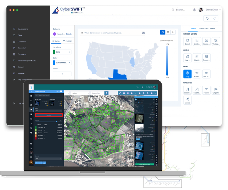
The process of updating and correcting existing land records is elaborate. Hence, we have adopted a systematic approach for the computerization of land records to maintain accuracy and uniformity.

Satellites record what actually exists on the ground. Hence, the information is up-to-date and there is zero chance of omitted data. Satellite images provide accurate facts for map preparation. Additionally, satellite images are useful in identification and mapping of encroachment. The details extracted from these images can be used to create an accurate land-related database for appropriate land management.
Read More
solutions help enhance grid efficiency, safety, reliability and resilience for energy & utilities.
Read More
solutions help enhance grid efficiency, safety, reliability and resilience for energy & utilities.
Read More
solutions help enhance grid efficiency, safety, reliability and resilience for energy & utilities.
Read MoreHave a project requirement? Let us identify all your requirements and turn them into a promising solution that fits your business requirement.